Turn your geographic data into operational decisions and services
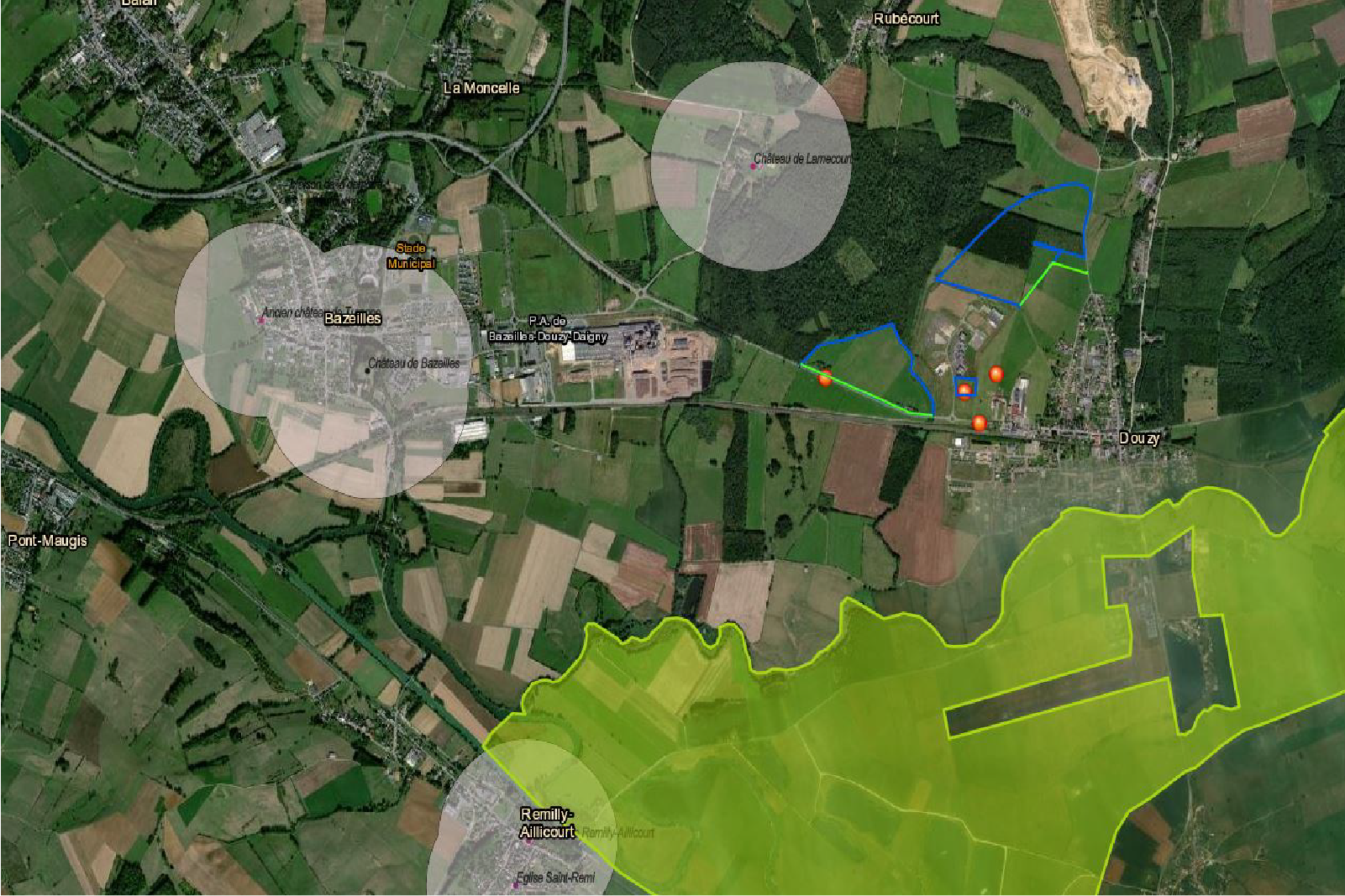
MODELIS TECH designs geographic information systems, business applications and mapping platforms that improve territorial knowledge, team coordination and operational management.
MODELIS TECH
Expertise
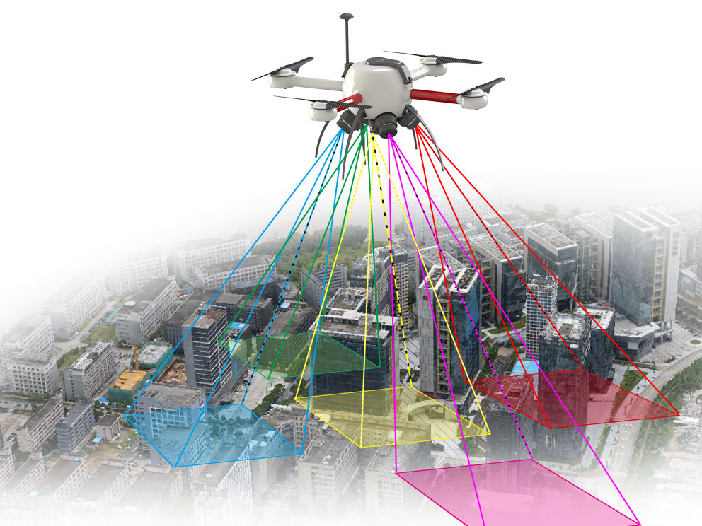
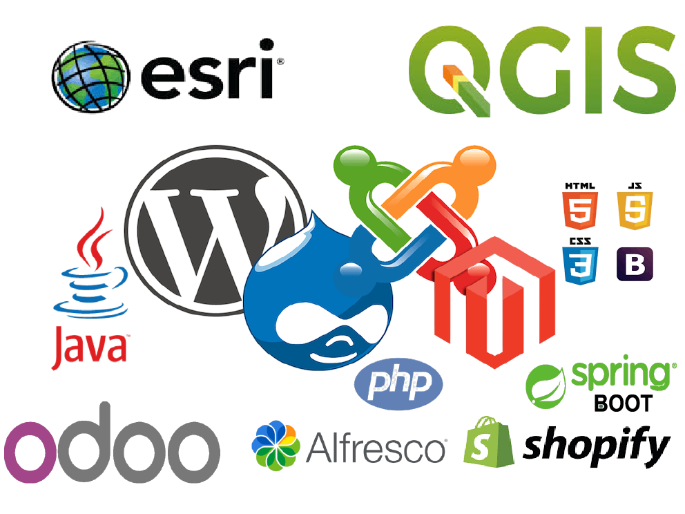
From data collection to publishing, our teams structure reliable reference datasets, develop tools adapted to business processes and support their adoption by users.
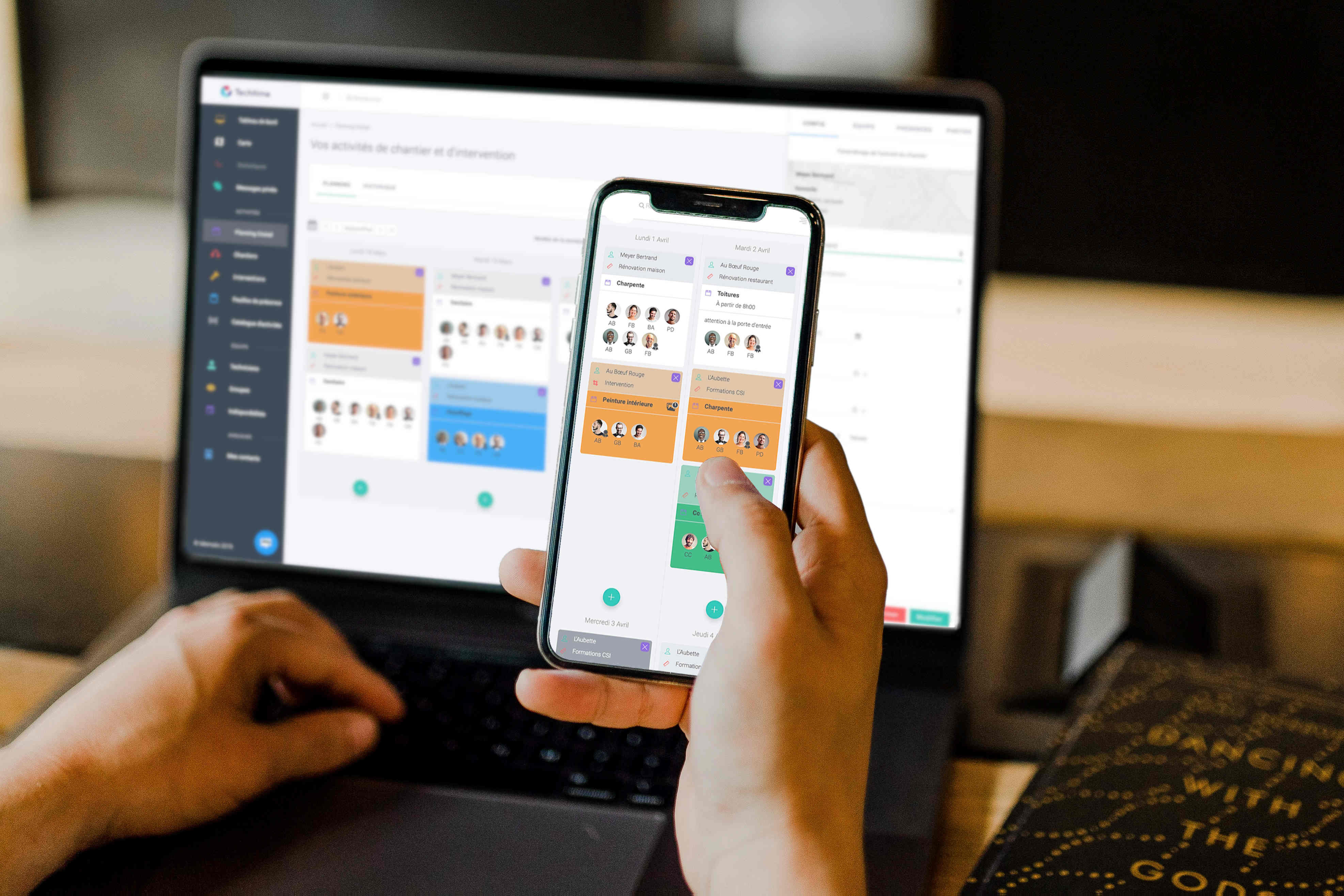
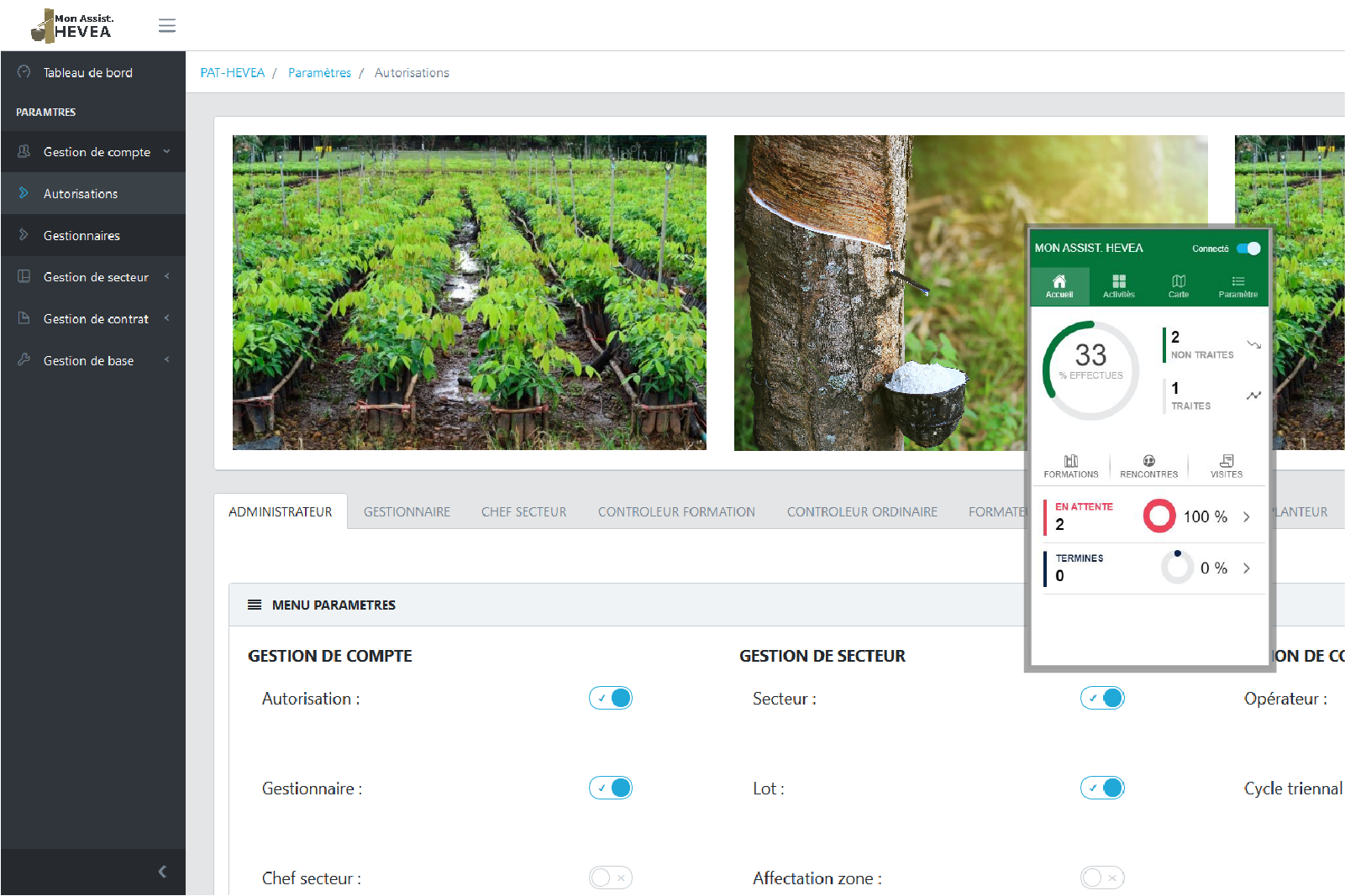
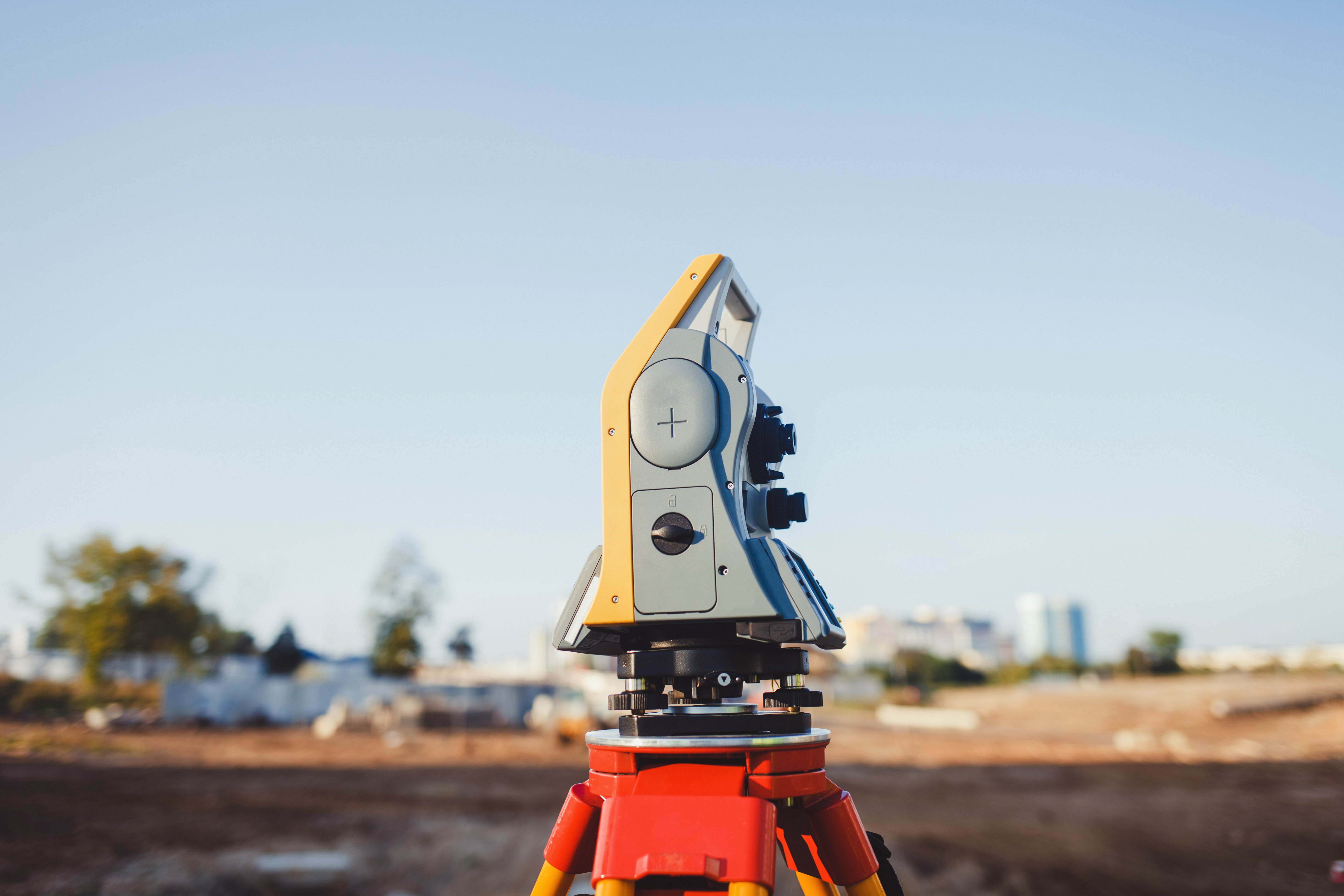
Sectors
Responses tailored to the territorial and operational challenges of each domain.


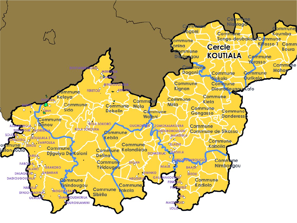

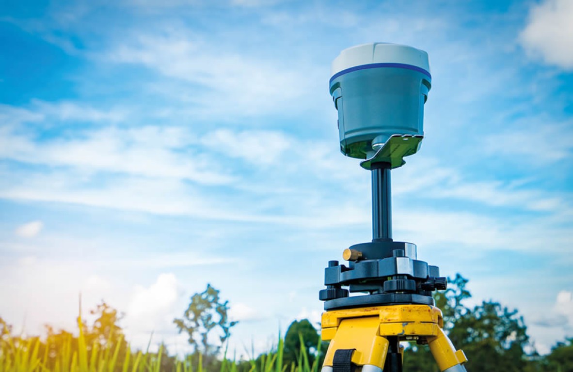
Projects
A selection of projects delivered by MODELIS TECH around territorial data, GIS and digital business tools.
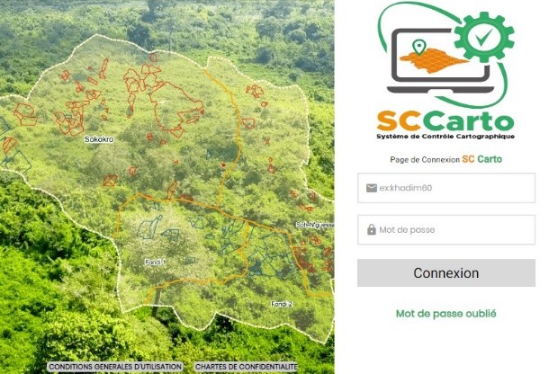
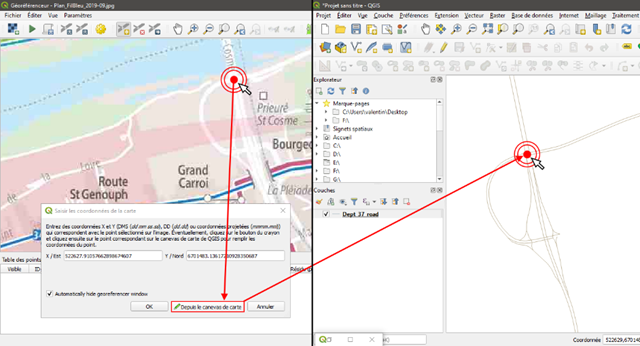
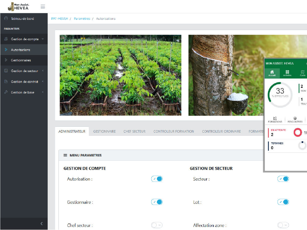
MODELIS TECH in figures
An overview of the expertise, intervention areas and GIS resources presented by MODELIS TECH.
9+
Mobilised expertise
Capabilities dedicated to geographic data and GIS solutions.
11+
Intervention areas
Responses tailored to territorial and operational challenges.
10+
Published projects
Projects illustrating MODELIS TECH’s areas of intervention.
Editorial archives
Editorial archives and published information.
 ArchiveArchive
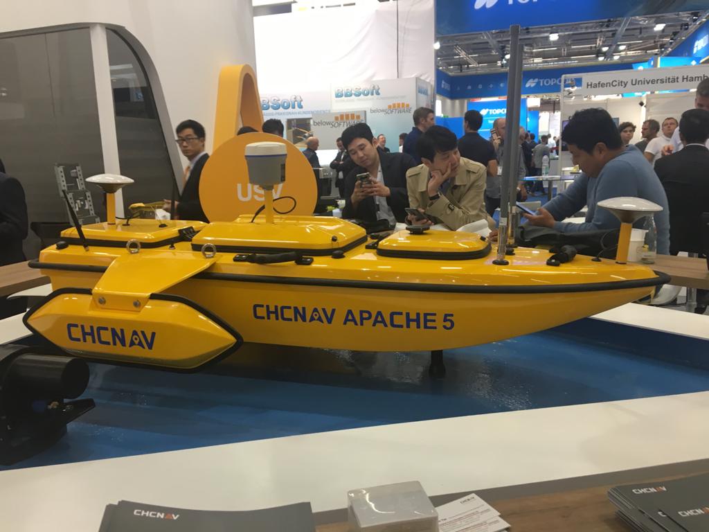
Participation in Intergeo 2018
Editorial archive: participation in Intergeo in 2018.
Read the article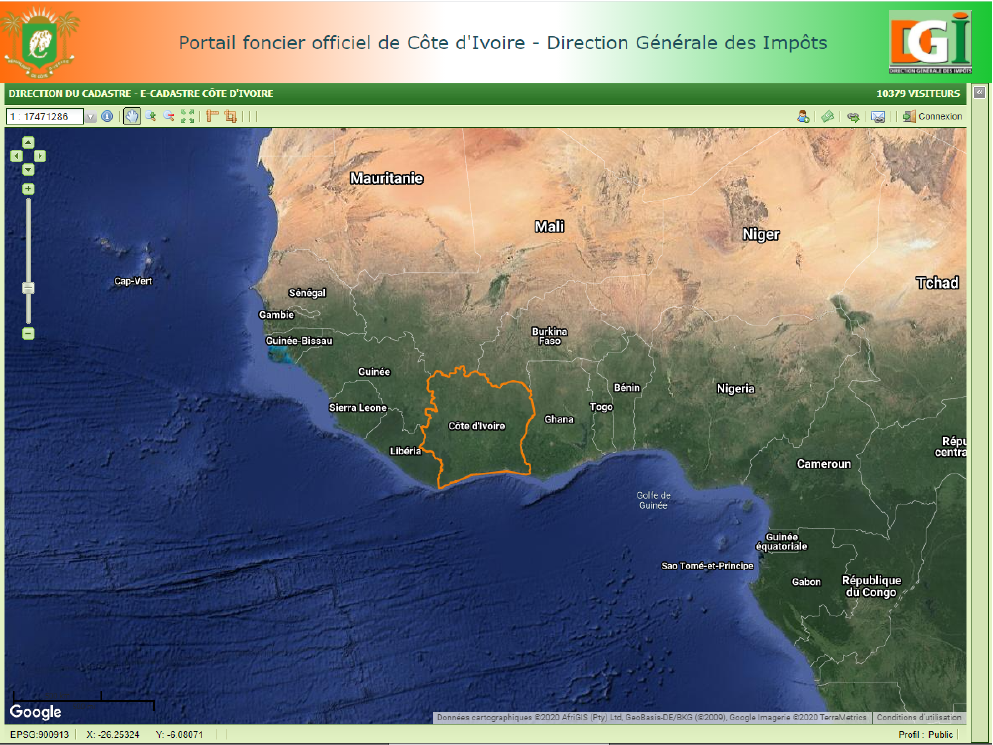 ArchiveArchive
EasyCadastre training — Cadastre Directorate
Editorial archive: EasyCadastre training session held in September 2016.
Read the article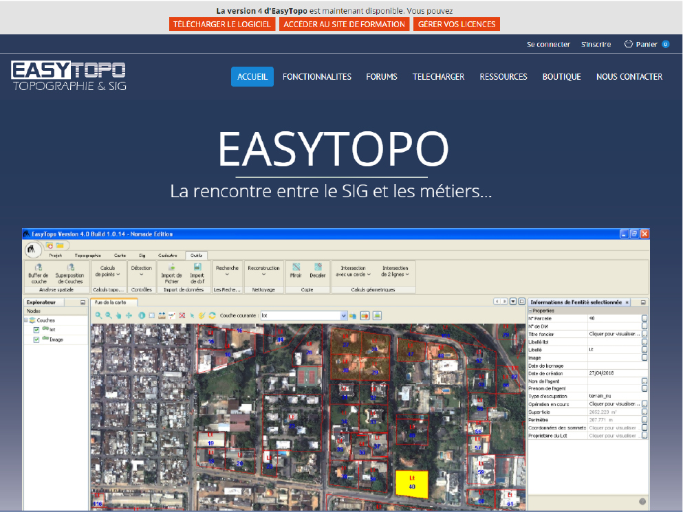 ArchiveArchive
EasyTopo training in Mali
Editorial archive: EasyTopo training conducted in Mali in 2016.
Read the article
Let's discuss your project
Describe your need and our team will direct you to the right contact path.