Understanding geomatics: turning geographic data into decision-support tools
Geomatics enables information about a territory to be collected, organised, analysed and represented. Geographic information systems give organisations effective tools to understand their environment and improve their decisions.
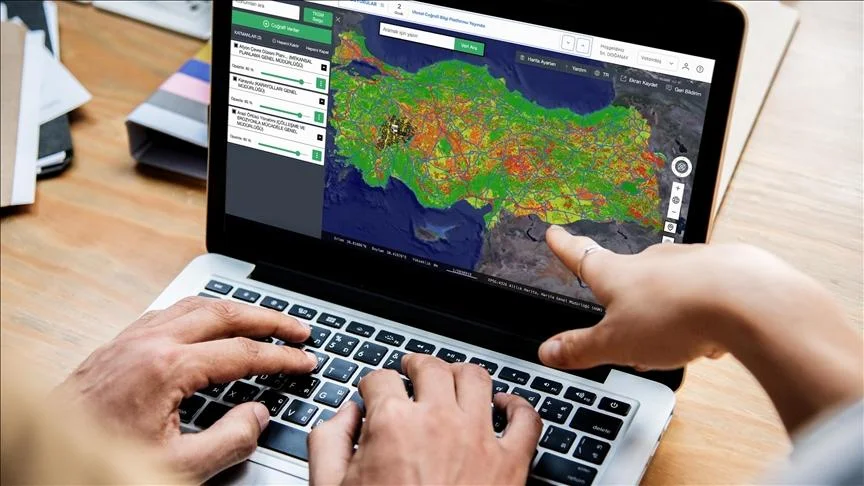
Every territory has characteristics and information that can help improve its management and planning.
Geomatics brings together methods and technologies for collecting, processing, analysing and representing geographic data.
At the heart of this discipline are geographic information systems (GIS), which allow information from different sources to be combined and displayed on a map.
These technologies now have applications across many sectors:
- Urban planning and development: land-use analysis and urban planning.
- Infrastructure: locating and monitoring equipment and networks.
- Environment: observing and monitoring territorial changes.
- Land management: organising and using parcel data.
- Territorial management: centralising information and supporting decision-making.
At MODELIS TECH, we put software development at the service of geomatics by designing GIS applications and platforms tailored to user needs.
Our approach turns sometimes complex data into intuitive interfaces and operational tools.
Geomatics thus becomes a powerful way to better understand territories and support their development.