MODELIS TECH: application development at the service of geographic information systems
From custom applications to GIS solutions, MODELIS TECH combines software expertise and geospatial technologies to meet the needs of organisations.
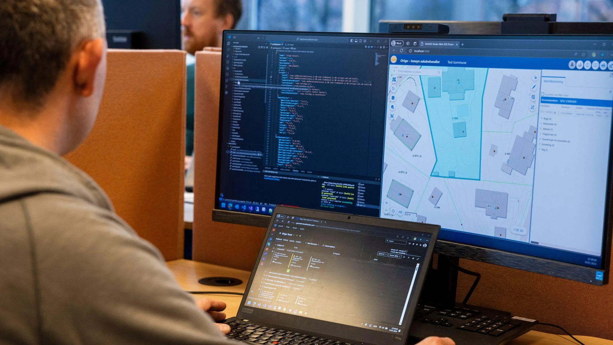
The digital transformation of organisations requires software tools capable of meeting specific needs and addressing concrete business challenges.
MODELIS TECH works in software development and geographic information systems, with an approach focused on designing solutions tailored to users.
Our areas of activity include:
1. Application development
Designing and building custom software applications to meet the functional and operational needs of organisations.
2. Geographic information systems
Designing and developing GIS platforms for collecting, centralising, visualising and using geographic data.
3. Digital mapping
Creating interactive mapping interfaces to represent and explore geographic information.
4. GIS consulting and support
Supporting organisations in planning, designing and implementing their geographic information systems.
5. Data integration and use
Implementing solutions that structure data and turn it into usable information.
Through these capabilities, MODELIS TECH aims to facilitate access to information, improve business processes and contribute to the modernisation of organisations.
Our vision: putting software and geospatial technologies at the service of practical, lasting solutions.