MODELIS TECH puts geospatial data at the service of digital transformation in land management
At the 2026 Abidjan Land Days, discussions focused on the digital transformation of land management. MODELIS TECH highlights the role of geographic information systems and digital solutions in structuring and making use of land data.

The digital transformation of land management is a major challenge for public administrations, local authorities and planning professionals.
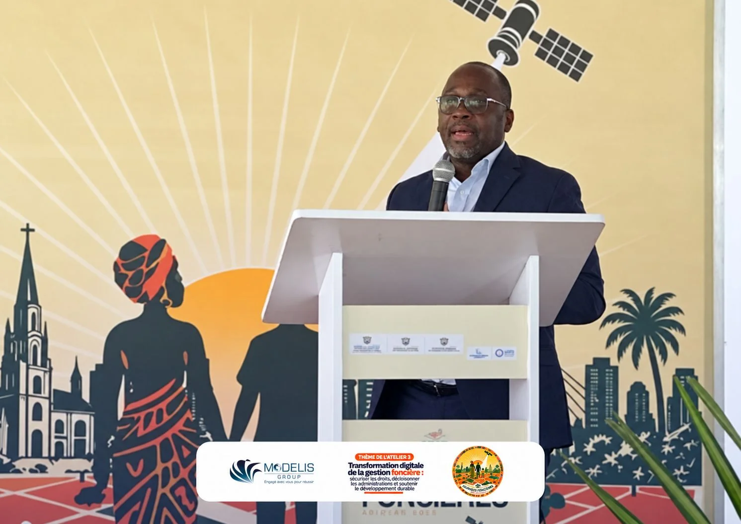
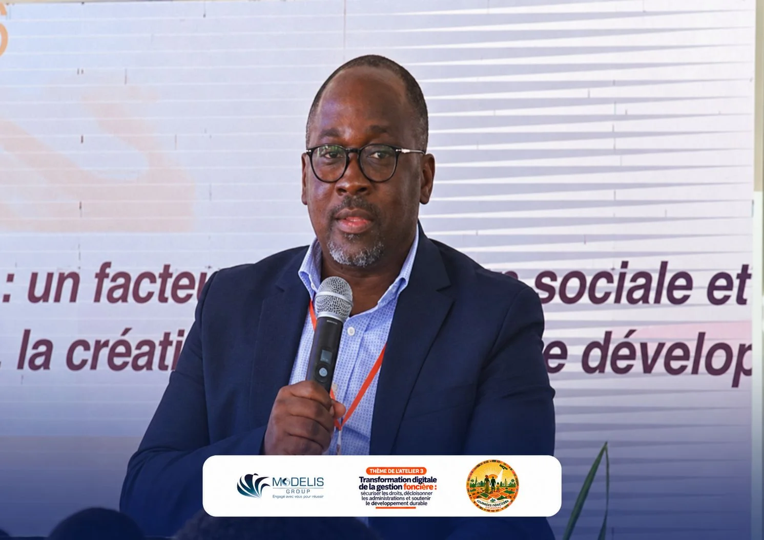
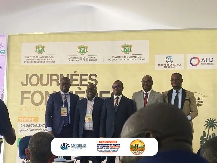
During the 2026 Abidjan Land Days, held at the Abidjan Exhibition Centre, the reliability and use of geospatial data were discussed in particular during Workshop 3, devoted to the digital transformation of land management.
These discussions highlighted the importance of structured, consistent and regularly updated geographic information to improve land management and support planning decisions.
At MODELIS TECH, we see geographic information systems as essential tools for addressing these challenges. Through business applications and tailored GIS solutions, geographic data can be centralised, visualised, analysed and used more effectively.
Our ambition is to contribute to the digital transformation of organisations by putting technology at the service of a better understanding of territories.
In pictures