Expertise

Geomatics expertise serving your projects

MODELIS TECH works with spatial data, geographic information systems, business applications and mapping solutions that support territorial uses.

MODELIS TECH

Complementary capabilities for coherent solutions

From structuring data to consulting, publishing and using it in business processes, our expertise works together to address organisations’ practical needs.
Geographic information systems

Geographic information systems

Design, deployment and operation of GIS for territory and business management.

Business application development

Business application development

Custom applications to digitise business processes linked to data and territory.

Web and mobile applications

Web and mobile applications

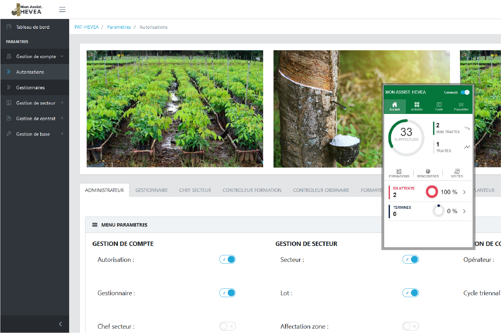
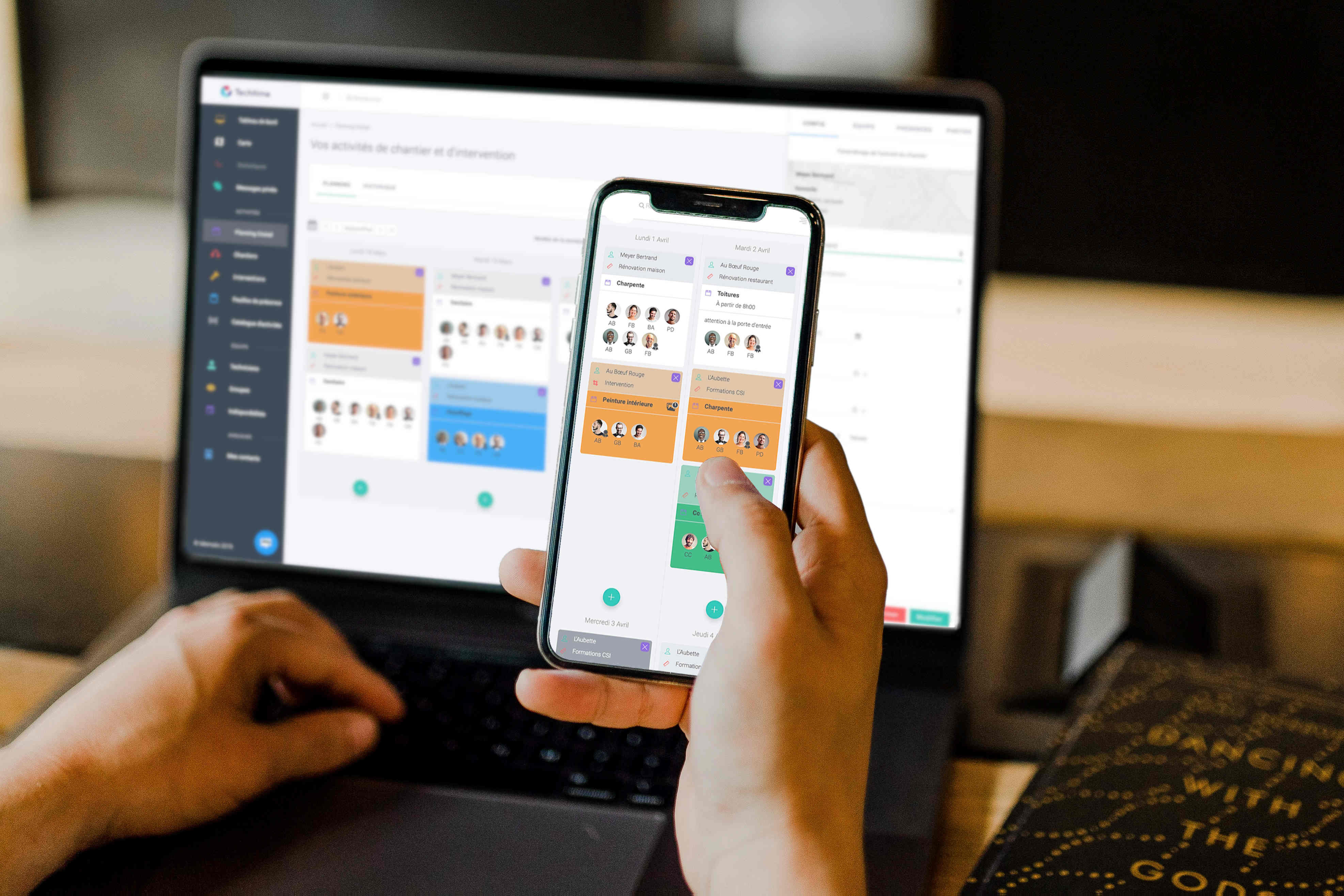
Web and mobile interfaces to consult, capture and share geographic information.

Web mapping

Web mapping

Interactive cartographic publishing to disseminate geographic information.

Spatial data and databases

Spatial data and databases

Collection, processing, modelling and administration of spatially referenced data.

Cadastre and land administration

Cadastre and land administration

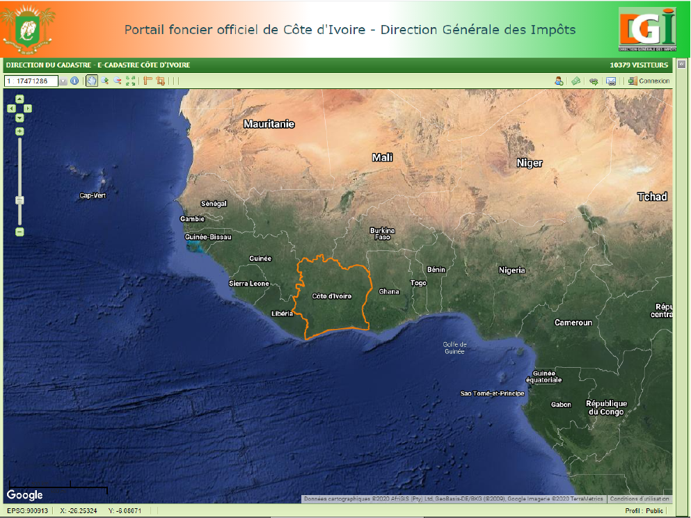
Digital solutions for cadastral management and land information.

Consulting and assistance

Consulting and assistance

Methodological and technical support to frame and secure GIS projects.

Hosting and security

Hosting and security

Provision of hosting environments suited to applications and sensitive data.

Training

Training

Skills transfer on GIS tools, data and deployed applications.