
Expertise
Geographic information systems
Design, deployment and operation of GIS for territory and business management.
Understanding the expertise
An intervention designed around your organisation’s uses, data and processes.
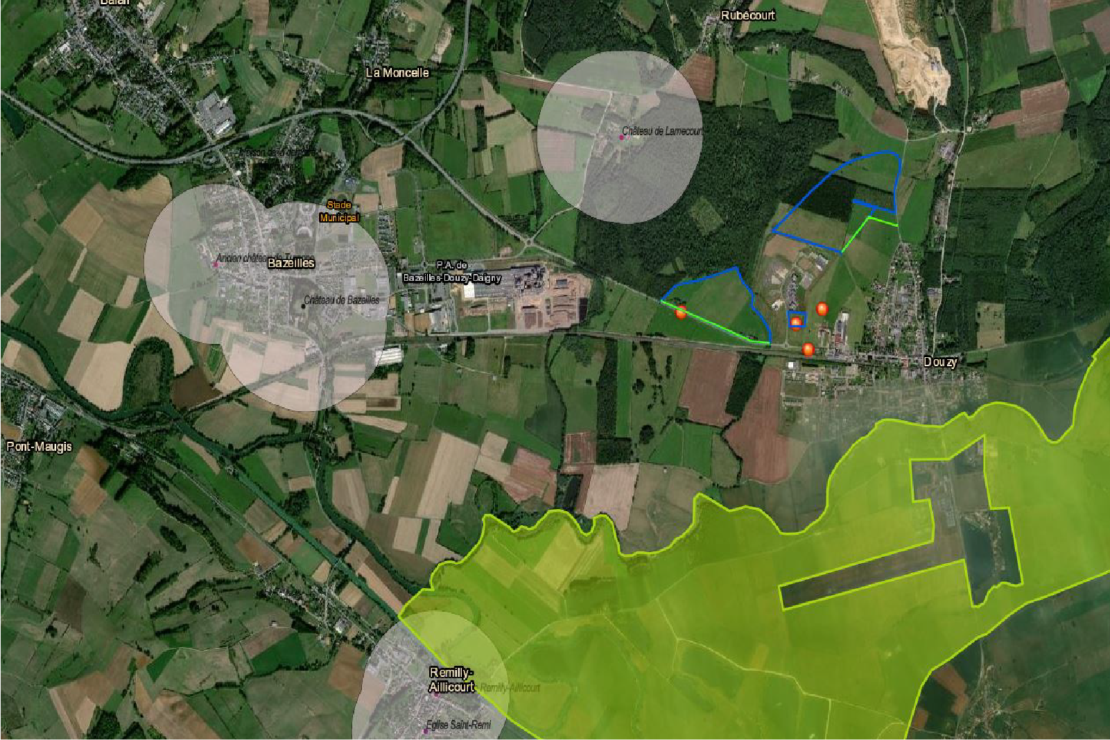
MODELIS TECH supports organisations in deploying geographic information systems aligned with their processes. Our work covers functional scoping, spatial data architecture, business integration and cartographic publishing.
Our interventions
The work areas directly associated with this expertise.
Structuring of geographic reference datasets
Consultation and map production tools
Integration of business flows and access rights
The value delivered
Solutions designed to make geographic information more useful to teams and decision-making.
- Better organise and improve the reliability of the data used by teams.
- Make it easier to consult, share and use relevant information.
- Support territorial analysis and decisions connected to business activities.
A geomatics project? Let’s talk.
Tell us about your needs and we can identify the expertise most relevant to your project.