
Project
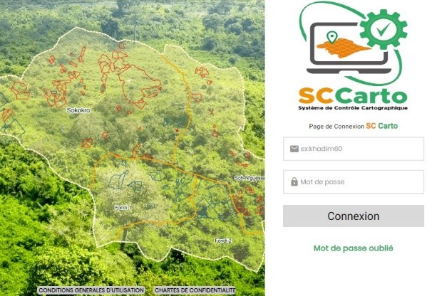
Implementation of a geometric verification system for land certificates and village territories
GIS · Côte d'Ivoire
Project overview
This project develops a geometric verification system for land certificates, streamlining the collection, verification and integration of geometric data from the various operators involved in land-title management. Its objective is to provide an efficient centralised platform that ensures the accuracy of land-certificate geospatial information, reducing potential errors and related disputes.
Key information
The context and mission details associated with this project.
- Domain
- GIS
- Country
- Côte d'Ivoire
- Client
- Rural Land Agency (AFOR)
- Mission duration
- 5 months
- Start date
- July 2023
- End date
- December 2023
A similar project? Let’s talk.
Tell us about your challenges: MODELIS TECH can help define an appropriate geomatics response.