MODELIS TECH
HomeAboutExpertiseProjectsNewsContact
fren
Request a quote
HomeAboutExpertiseProjectsNewsContact
Request a quote

Sectors

Responses tailored to the territorial and operational challenges of each domain.

Public administration

Public administration

Information systems and mapping tools supporting public policies.

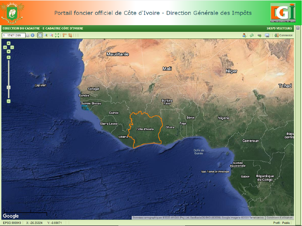
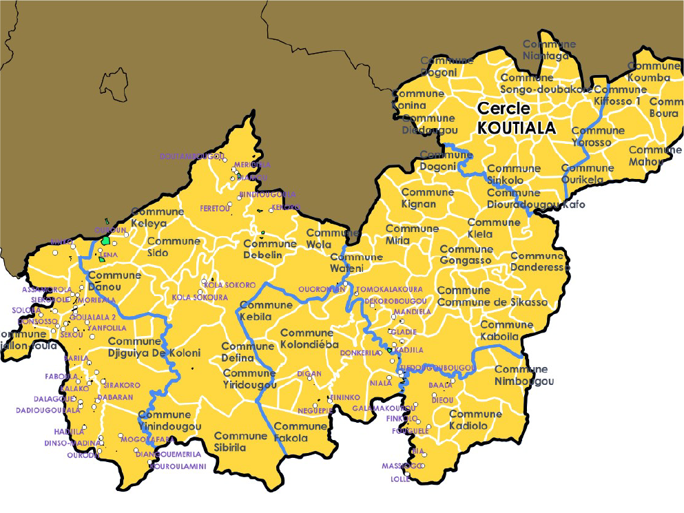
Cadastre and land

Cadastre and land

Digital management of cadastral and land information.

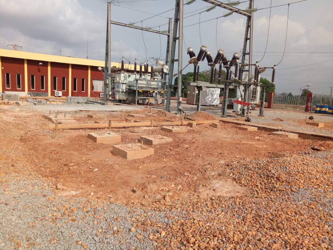
Energy and networks

Energy and networks

Spatial reference systems and applications for network management.

Mining

Mining

Mapping and information systems for mining titles and activity monitoring.

Environment and forests

Environment and forests

Spatial data and monitoring tools for environmental and forest management.

Agriculture

Agriculture

Geomatics tools for observing and managing agricultural areas.

Spatial planning

Spatial planning

Territorial decision support through geographic data and mapping.

Telecommunications

Telecommunications

Mapping and applications for asset management and network coverage.

Infrastructure

Infrastructure

Information systems for tracking and locating infrastructure assets.

Development projects

Development projects

Geomatics support for development projects and territorial programmes.

Private companies

Private companies

Digital and mapping solutions for companies' operational needs.

MODELIS TECH

From spatial data to operational decision-making.

Member of the MODELIS Group

MODELIS Group

Navigation

  • Home
  • About
  • Expertise
  • Projects
  • News
  • Contact

Our expertise

  • Geographic information systems
  • Business application development
  • Web and mobile applications
  • Web mapping
  • Spatial data and databases
  • Cadastre and land administration

© 2026 MODELIS TECH. All rights reserved.

Legal noticePrivacyCookies